


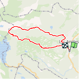

13,3 km | 19,3 km-effort


Gebruiker


Gratisgps-wandelapplicatie
 SityTrail
IGN / Geografische instituten
SityTrail World
De wereld gaat voor u open
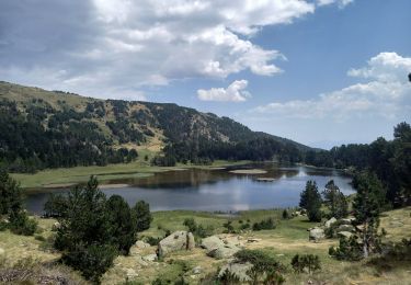
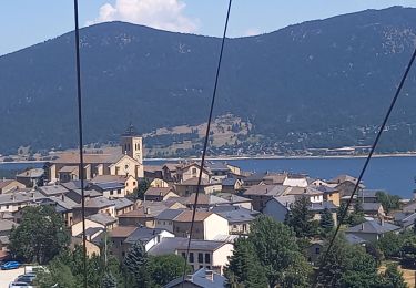
Tocht Stappen van 17,2 km beschikbaar op Occitanië, Pyrénées-Orientales, Les Angles. Deze tocht wordt voorgesteld door Axelloceane.
Départ de la station des angles et retour par télécabine

Stappen

Sneeuwschoenen
Stappen

Stappen
Stappen

Stappen
Stappen

Noords wandelen

Sneeuwschoenen
tres belle rando
tres bonne rando, agreable